Field notes: the corridor that looked connected until the creek dried up
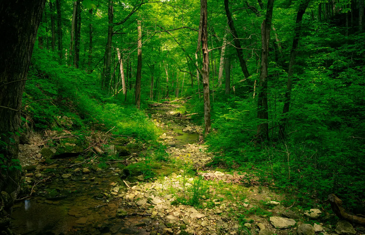
We'd flagged it in October, off a classification run on leaf-off imagery: a narrow riparian strand threading between two decent-sized habitat blocks on the west side of the parcel. Edge density was low, the strand width held steady for almost the full run, and on paper it was the kind of connection a corridor design gets built around. The sort of thing you circle on the first cut and move on to the next question.
By August the creek had become a cobble bed with a crust of dried algae and a few sedge clumps hanging on where a culvert kept some moisture in the soil. The "corridor" had been real, in the sense that it existed and had riparian vegetation and probably moved something through it in March. It just wasn't there for five months of the year, and five months is enough to matter if you're trying to argue functional connectivity to a reviewing agency.
This is close to the default failure mode when a corridor sketch gets built off one flight date. Ephemeral and intermittent streams carry riparian canopy and understory that classify the same as perennial reaches in a single-season land cover pass. The pixels don't know the difference between a channel that's wet in April and one that's wet most of the year. Fragmentation metrics calculated off that one date will show you a connected patch network because the vegetation signature is connected. Whether the hydrology is connected on the days a bobcat or a bird actually needs to cross is a separate question, and it's the one that gets asked in the comment letter.
What made this one instructive wasn't that the creek dried up. Every field biologist in a Mediterranean or semi-arid climate expects that. It was how confidently the corridor looked solid on the single-date layer, and how little that single date told anyone about timing. A reach that holds water January through April reads identically to one that holds water year-round if your classification happens to catch it in February. You can't tell seasonal connectivity from permanent connectivity by looking at canopy cover in one pass. You need either a site visit timed to the dry season, gauge records if the watershed has them, or imagery from more than one point in the year layered against the same patch boundaries.
The practical fix for a mitigation planner isn't complicated, but it changes the order of operations. Treat a corridor candidate pulled from one classification date as a hypothesis, not a finding. If a strand's width, canopy density, or vegetation signature shifts noticeably in a wet-season versus dry-season comparison, that's your flag to walk it before it goes into a design narrative or a permit application. Ephemeral reaches aren't disqualifying. Agencies deal with intermittent connectivity all the time. But a design that quietly assumes year-round function on a reach that's dry two-thirds of the year is a design that gets picked apart later, usually by someone with a gauge record and a grudge.
We built the shortlisting workflow at Habitat Suitability around this exact gap: a land cover layer plus a connectivity metrics table for whatever study area you define, so you can see patch size, edge density, and corridor candidates before you commission a full survey. It won't tell you a creek is seasonal. No remote layer will, not reliably, not yet. What it does is get you to a defensible shortlist fast enough that you have budget and time left over to put a field crew on the two or three reaches that need a dry-season look before you commit a design to paper.
Run the site in August, not just in the season the stream looks its best.