Field notes: the corridor that worked on the map and dead-ended at a four-lane highway
I had a corridor last spring that I was genuinely proud of. Two oak woodland patches, about four kilometers apart, separated by a patchwork of grazing land and a few irrigation ditches. The least-cost path ran through exactly the kind of low-resistance cover you want to see: riparian scrub hugging a seasonal drainage, a couple of fence-line hedgerows, one short stretch of fallow field that would need a conservation easement but nothing exotic. Edge density was low along the whole run. It looked, on the screen, like the easiest connectivity win I'd had in a year.
Then I drove it.
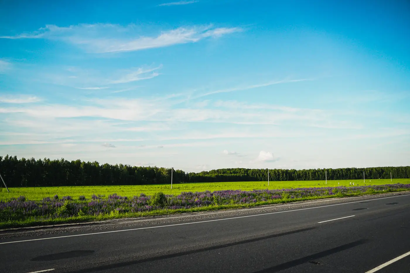
About two-thirds of the way along, the drainage disappears into a culvert under a four-lane state highway with a posted speed of 65 and no wildlife crossing structure anywhere on that stretch. Not a small thing to have missed, except I hadn't missed it exactly. The highway was right there in the land cover classification, correctly tagged as impervious surface, correctly excluded from the habitat mask. It just didn't register as a barrier the way a fence line or a slope would, because from a pure resistance-surface standpoint, a four-lane highway and a two-lane county road can carry similar friction values if you're not deliberately weighting them apart. The corridor didn't avoid the highway. It just didn't know to be afraid of it.
This is the thing about desktop connectivity work that I don't think gets said out loud enough: patch size, edge density, and least-cost paths tell you where structural connection is plausible given cover type and arrangement. They don't know what kills things. A corridor that scores beautifully on fragmentation metrics can still ask a bobcat to cross six lanes of traffic at grade. The map doesn't feel that risk because the map was never built to.
I've started treating every candidate corridor from a cover-based screening the same way now, as a hypothesis, not a route. The screening tells you which two patches are worth connecting and roughly which strip of land gives you the cheapest, lowest-resistance path between them. That's most of the hard part, honestly, because without it you're staring at a county-sized study area trying to eyeball which fifty acres matter. But the last ten percent, the part where you check for at-grade road crossings, rail lines, fence type, lighting, anything that turns a green corridor on paper into a mortality sink in practice, still needs someone who has walked the ground or at least pulled the DOT traffic counts and crossing inventory for every road the path touches.
These days I use a tool like this mostly for triage. Run the land cover classification and the connectivity metrics across the whole study area, get a ranked shortlist of patch pairs and candidate corridors, and then spend the field budget verifying the three or four best candidates instead of guessing which forty acres to walk first. I've been doing exactly that with the cover-based screening layer, and it's cut a lot of windshield time out of the early shortlisting, even though it obviously can't tell me what's under a highway overpass three counties over.
The corridor I started with in this story is dead, for now. I flagged it for an underpass retrofit in the next long-range transportation plan comment period, which is a slower fix but not a crazy one. In the meantime I shifted the design two miles south to a spot where the path crosses the same highway near an existing box culvert big enough to pass a deer. Slightly higher resistance score, but survivable.
If you're shortlisting offset sites and want the cover-based groundwork done before you spend field days on it, that's the starting point worth trying.