What a pinch point in a wildlife corridor means for your mitigation design
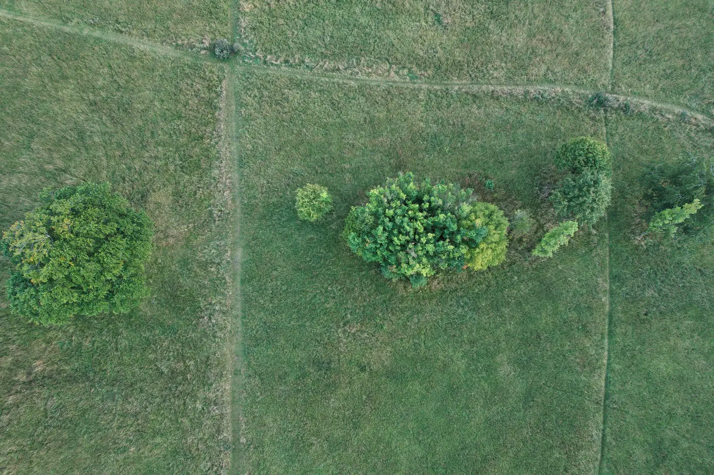
A reviewer kicks your draft mitigation plan back with one line: "corridor width insufficient at pinch point, see attached." You pull up the parcel map and there it is, a stretch where the proposed wildlife corridor necks down to a sliver between a county road and a drainage easement. Nobody flagged it at the concept stage because the corridor looked fine on the overview map. It only shows up once you zoom to the scale a biologist actually reviews at.
What a pinch point actually is
A pinch point is any spot along a wildlife corridor where the usable habitat width drops to its narrowest, usually because development, a road, agriculture, or open water squeezes the corridor from both sides at once. The minimum width is what governs here, not the average. A half-mile corridor that's 400 meters wide for most of its length but drops to 30 meters at one crossing is, for permitting purposes, a 30-meter corridor. That narrow stretch is the one a reviewing agency will measure against species-specific width thresholds, and it's the one that decides whether the corridor functions at all for anything larger than a songbird.
Pinch points are usually baked into the land itself: a ridge that forces a creek and a road into the same narrow gap, a parcel boundary that happens to fall right where the only remaining tree cover sits. You can shift a building pad. You generally can't move a ridge.
Why it caps your design options, not just your corridor width
This is the part that catches planners off guard. A pinch point doesn't just shrink one segment of the corridor. It caps what you can propose for the whole mitigation package, because an agency reviewing the plan will size the corridor's function to its narrowest link, not its widest. That changes the math in a few ways:
Your offset ratio assumptions shift. If the functional corridor width is set by a 30-meter chokepoint instead of the 400-meter average, you may need more acreage elsewhere to compensate, or a different design entirely, like a wildlife crossing structure at that specific location.
Your site selection narrows. If you're comparing three candidate parcels for an offset site and one has a pinch point running through its only viable connection to an adjacent habitat block, that parcel's effective value to the agency is lower than its acreage suggests, even if it's the cheapest or most available option on paper.
Your timeline absorbs the hit. Pinch points found late, after a site is under option or a plan is already submitted, mean redesign cycles. Found early, they're just one more input to the site comparison.
Finding pinch points before a reviewer does
Pinch points don't show up on a county parcel map or a coarse land cover product. Resolving a 20- or 30-meter gap takes finer resolution than that, run across the whole study area, not just the parcel you're already leaning toward. That's connectivity bottleneck mapping in practice: running patch size, edge density, and connectivity metrics across a defined study area so the narrow links between habitat blocks surface as data, not as something a field biologist stumbles on during a walkover six weeks before your hearing date.
This is the gap Habitat Suitability is built around: a land cover layer and a connectivity metrics table for the study area you define, built from annual high-resolution satellite classification, so you can see where patches pinch down to a bottleneck before you've picked a site boundary or paid for a bespoke ecology survey to tell you the same thing later.
Pinch points are going to shape the review whether you find them on day one or day ninety. Finding them early just means you get to pick the response instead of having it picked for you.
If you're comparing offset candidates and want the connectivity picture before you commit to a boundary, that's the starting point to run them through.