What is a reference wetland, and why mitigation site design starts there
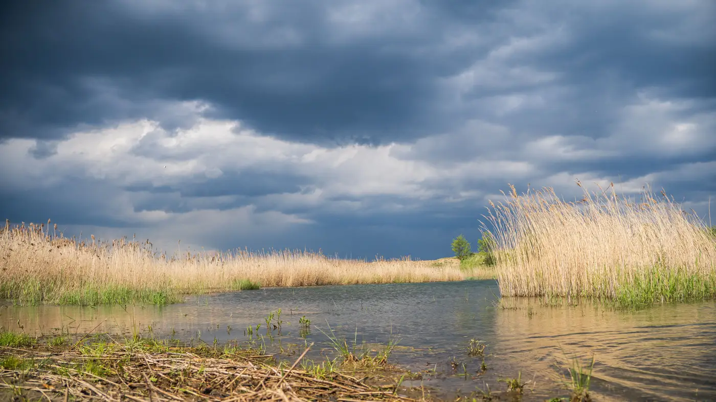
A reviewer asks for your reference wetland before you've picked a planting palette, before you've graded a single contour. That order feels backward to anyone used to starting with the parcel and working outward. It isn't. The reference site is what tells you whether the parcel you're eyeing can even become the kind of wetland your permit requires.
Reference wetland versus reference domain
A reference wetland is a single, relatively undisturbed site that represents the target condition for your mitigation project: the species mix, hydrology, soil structure, and physical form that a healthy, mature version of your wetland type should have. A reference domain is the broader set of wetlands across a region sharing similar class, geomorphic setting, and landscape position. The domain gives you the range of what's normal. The reference wetland (or wetlands, since most practitioners now pull from several) gives you the specific targets you'll hold your site to.
Corps districts and state agencies increasingly expect both. A single reference wetland can be an outlier: unusually pristine, unusually degraded, or just not analogous enough to your soils and watershed position. Pulling metrics from a domain of five or ten comparable sites smooths that out and gives your performance standards more defensible footing when a reviewer pushes back.
Why performance standards depend on this up front
Performance standards (percent cover by native species, hydroperiod duration, channel sinuosity, patch connectivity to adjacent habitat) only mean something if they're anchored to a reference condition. Set them from a textbook or a generic regional guidance document and you risk standards that are either too easy to hit (a reviewer flags it) or physically impossible given your site's actual landscape context (your restoration ecologist flags it, usually after construction).
This is where mitigation site design starts, not ends. Before you grade, before you select plant communities, before you commit to a corridor alignment linking your mitigation parcel to adjacent habitat blocks, you need to know what "done" looks like here, in this watershed, on this soil type, at this landscape position. The reference domain answers that question in a way that's specific to your region instead of borrowed from somewhere else.
Fragmentation metrics matter at this stage too, and not just for the reference sites. A candidate mitigation parcel surrounded by row crops and a four-lane road is a different design problem than one adjacent to an intact forest block, even if both have identical soils on paper. Patch size, edge density, and connectivity to nearby habitat shape whether your planting plan can realistically self-sustain, or whether you're fighting edge effects for the life of the monitoring period. Most teams don't have this picture until a field ecologist has walked the site and the surrounding parcels, which can take weeks a shortlisting decision doesn't have.
Getting the landscape context before the field visit
A land cover classification run over your study area, paired with a connectivity table for the parcels you're comparing, gets you most of the way to a defensible shortlist before anyone drives out. It narrows a dozen candidate parcels down to the two or three worth your ecologist's field time, and it sketches where a corridor connection would actually have somewhere to go, ahead of the reference wetland work and performance standards your ecologist will still set. Habitat Suitability turns an annual high-res land cover layer into exactly that: patch size, edge density, and connectivity metrics for a study area you define, delivered alongside the land cover layer itself.
None of this skips the reference wetland step. A reference domain assembled from multiple comparable sites, with performance standards drawn from it, is still the backbone of a credible mitigation design, and most reviewing agencies will ask for it by name. What a connectivity table buys you is the ability to walk into that work having already ruled out the parcels that were never going to pencil out, landscape-wise, no matter how clean the soils report came back.
If you're staring at a dozen candidate parcels and need the fragmentation picture before you commit field hours to any of them, that's the problem Habitat Suitability is built around.