What is a stepping stone habitat in corridor design?
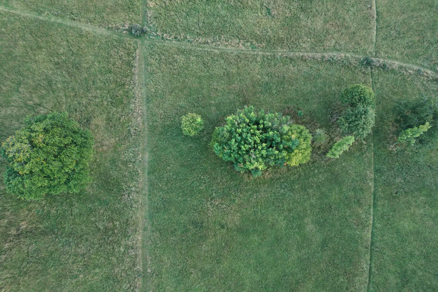
A stepping stone habitat is a small patch of suitable land cover that sits between two larger habitat blocks without physically touching either one. Species move through it in hops rather than along an unbroken strip of vegetation. Think of a hedgerow fragment, a farm pond, a remnant copse at a field corner: none of these connect to anything on their own, but spaced closely enough together they let a bat, a dormouse, or a ground beetle cross a gap it couldn't otherwise manage in one go.
A wildlife corridor in the strict sense is continuous: a strip of habitat, often a riparian buffer or a retained woodland edge, that runs from one block to another without a break. A stepping stone network does the same job with gaps in it, because most species don't need unbroken cover, just cover often enough along the route.
Why stepping stones show up where corridors can't
Most sites land on a stepping stone approach because a continuous corridor isn't available, usually at a corridor pinch point: the narrowest, most constrained stretch along a potential connectivity route, where a road, a drainage channel, an existing building footprint, or a parcel boundary squeezes the available width down close to nothing. You can't widen a road reserve to fit a 30 m habitat strip. What you can sometimes do is identify or retain a cluster of small patches either side of that constraint and let them function as a hop-through instead.
Planners get asked to justify this substitution a lot, usually by a reviewing ecologist who wants to know the gaps aren't too wide for the target species to cross. That's a legitimate question, and it's the one that turns "there's a pond over there" into an actual design decision.
Finding the candidates: least-cost paths and block spacing
A least-cost path analysis is the GIS method planners use to find these candidates. It assigns a resistance value to each land cover type across the study area, based on how costly or risky it is for a species to move through, then calculates the path of lowest cumulative resistance between two habitat blocks. Arable land scores high resistance, hedgerow and scrub score low, a dual carriageway scores close to impassable. The output is a route, and the remnant patches that happen to sit along it become your stepping stone candidates.
The second thing that has to check out is habitat block spacing. A patch only functions as a stepping stone if the gap to the next one falls within the dispersal range of the species you're designing for. A three-hectare block a newt can reach in one evening is doing real work. The same patch spaced for a species that won't cross open ground more than 50 m is a pretty picture on a plan and nothing else. That spacing figure gets picked apart in a planning condition discussion, and it's the hardest one to pin down without patch size, edge density, and inter-patch distance mapped consistently across the whole site.
Getting that mapping done usually means commissioning a walkover survey before you've even confirmed the site is worth pursuing, which is slow and not always proportionate at the shortlisting stage. A land cover classification run annually over your study area gives you patch size, edge density, and connectivity metrics between blocks without that step, so you can see which gaps are plausible stepping stone spacing and which ones are a least-cost path on paper and nothing underfoot.
None of this replaces a site-specific survey once you've got a shortlist. What it does is let you rule out the routes that were never going to work before you spend survey budget confirming it.
If you're trying to work out whether a run of small patches across a site could carry a corridor past a pinch point, Habitat Suitability can turn that into a metrics table before you commit to a full ecology survey.